UN
6 Awel Mor
£ 125,000
Description
We don't have a Description for this property.
- Bedrooms
- 3
- Bathrooms
- 0
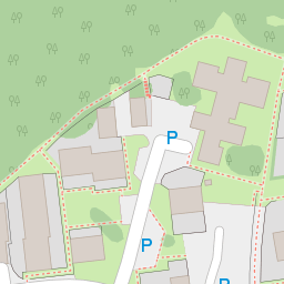
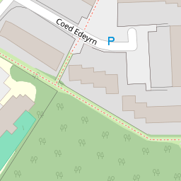
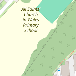
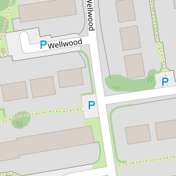

Leaflet © OpenStreetMap contributors
The heatmap indicates the level of crime in the area. The color of the heatmap indicates the crime severity and recency.
Metrics Year-on-Year
- Average area value
- 208,649.00 £Increased by 1.69 %
- Average area rental value
- 1,055.00 £/moDecreased by 7.37 %
- Est rental Yield
- 6.07 %Decreased by 8.86 %
- Crime Rate
- 2.00 %Unchanged by 0.00 %
from 205,174.00 £
from 1,139.00 £/mo
from 6.66 %
from 2.00 %
Nearby Schools
| Name | Type | Ofsted | Distance |
|---|---|---|---|
| All Saints C.I.W. Primary School | Welsh Establishment | 0.14 KM | |
| Llanedeyrn Primary School | Welsh Establishment | 0.43 KM | |
| Springwood Primary School | Welsh Establishment | 0.80 KM | |
| St Teilo'S C.I.W. High School | Welsh Establishment | 1.14 KM | |
| St Phillip Evans R.C. Primary School | Welsh Establishment | 1.18 KM |
Images
Nearby Streets
| Name | Average Price | Average Sqft | Distance |
|---|---|---|---|
| Queensberry Road | £ 150,000 | 0 | 0.00 KM |
| Clarendon Road | £ 145,000 | 0 | 0.00 KM |
| Lonsdale Road | £ 412,500 | 0 | 0.00 KM |
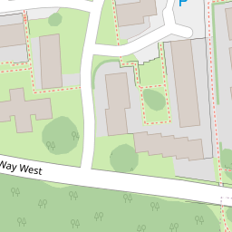
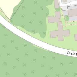
| Circle Way West | £ 275,000 | 0 | 0.00 KM |
| Llwyn-Y Grant Place | £ 532,500 | 0 | 0.00 KM |
Nearby Transport
| Name | NLC | TLC | Distance |
|---|---|---|---|
| Heath High Level | 3845 | HHL | 3.08 KM |
| Heath Low Level | 3908 | HLL | 3.10 KM |
| Cardiff Queen Street | 3900 | CDQ | 3.36 KM |
| Cathays | 3820 | CYS | 3.38 KM |
| Llanishen | 3847 | LLS | 4.05 KM |
Nearby Listings
| Address | Price | Type | Score | Distance |
|---|---|---|---|---|
| Awel Mor, Cardiff | £ 97,000 | BUY | Unknown | 0.00 KM |
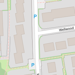
| Wellwood, Llanedeyrn, Cardiff | £ 270,000 | BUY | 7 / 10 | 0.08 KM |
| Awel Mor, Llanedeyrn, CF23 | £ 170,000 | BUY | 6 / 10 | 0.09 KM |
| Awel Mor, Llanedeyrn, CF23 | £ 170,000 | BUY | Unknown | 0.10 KM |
| Wellwood, Llanedeyrn, Cardiff, CF23 | £ 260,000 | BUY | 6 / 10 | 0.10 KM |
Nearby Properties
| Address | Price | Distance |
|---|---|---|
| 5 Awel Mor | £ 130,000 | 0.00 KM |
| 17 Awel Mor | £ 119,000 | 0.00 KM |
| 7 Awel Mor | £ 135,000 | 0.00 KM |
| 1 Awel Mor | £ 85,000 | 0.00 KM |
| 40 Awel Mor | £ 113,500 | 0.00 KM |